Surveying

GIS

GIS Principles and Application

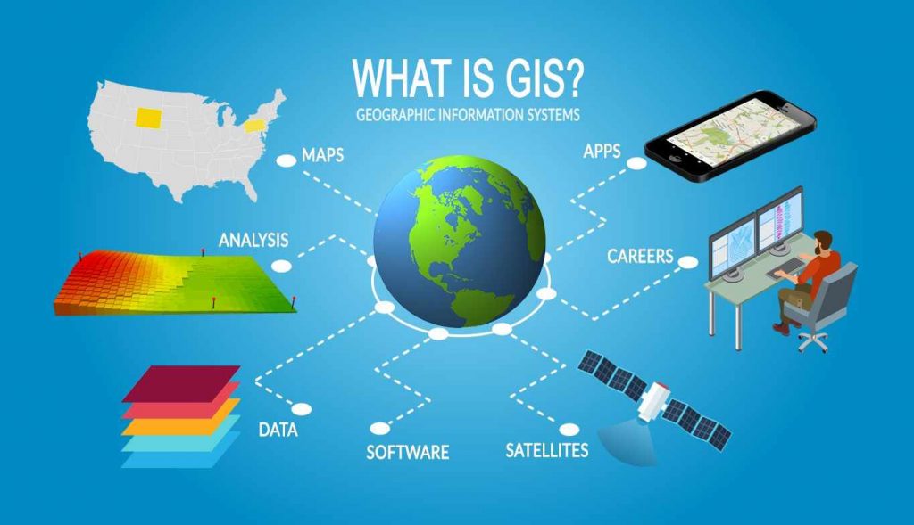
A Geographical Information system (GIS) is a tool, which can accept large volumes of spatial data derived from a variety of sources, retrieve, manipulate, analyse and display them according to user-defined specifications. A Geographic Information System is Organized collection of Hardware, Software, Network, Data, People, andProcedures Software Product-Tool for solving geographic problems Supported by data …

GIS Principles and Application Read More »

GPS

GPS and GIS – Definition, Components and Application in Civil Engineering

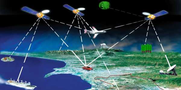
What is GPS? GPS stands for Global Positioning System by which anyone can always obtain the location and time information anywhere in the world. It is a system of earth-orbiting satellites which provides a precise location on earth’s surface in latitude/longitude coordinates. GPS is a powerful and widely used integrated tool(like in GNSS) that is …

GPS and GIS – Definition, Components and Application in Civil Engineering Read More »